
All services
Topographical Surveys
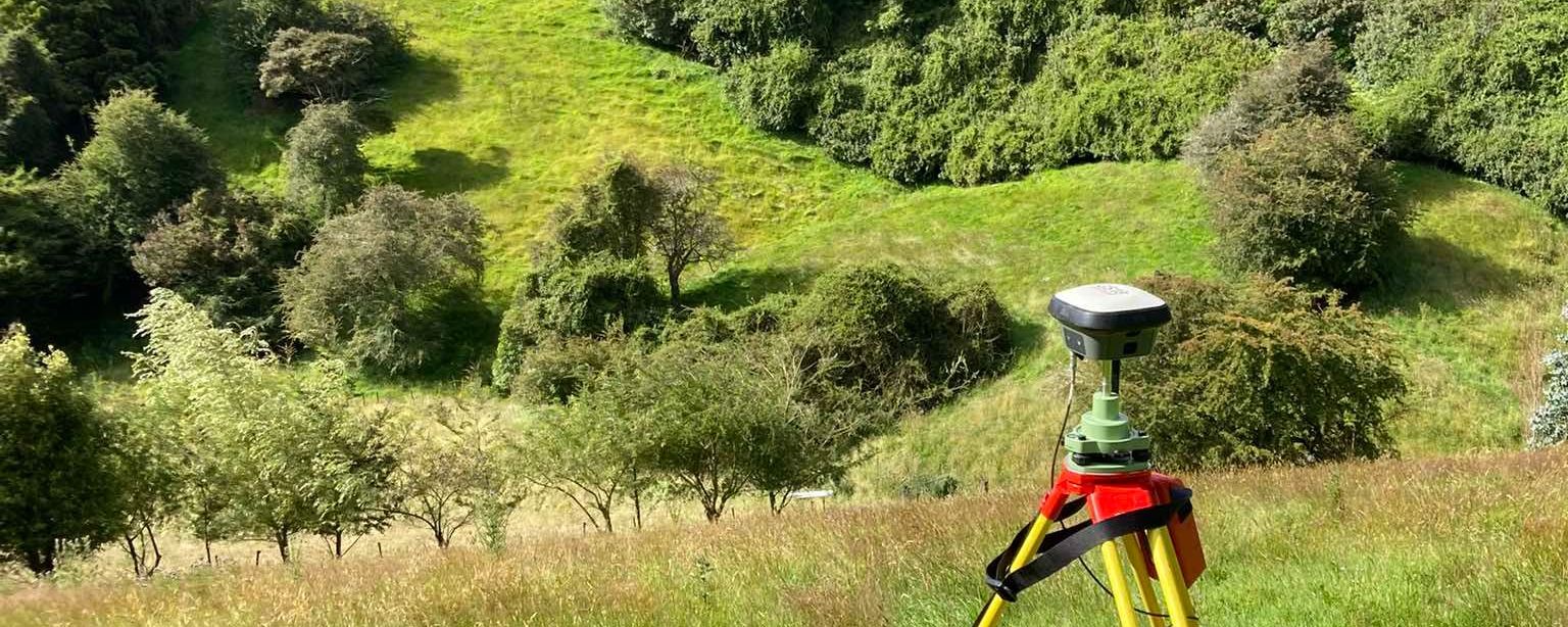
A topographical survey determines the location of physical objects on the land, including buildings, the slope or contours of the land, pathways, water boundaries, vegetation, fences and formed tracks.
This information is commonly used by architects and engineers for design purposes, and is often required in support of scheme plans and subdivision applications.
Need a free, no-obligation estimate?
Whether it's uncovering some title data or planning an extensive subdivision, get in touch and we'll talk through your options.
Contact TL Surveys